Aircraft (HAPS) flying for 90 days!
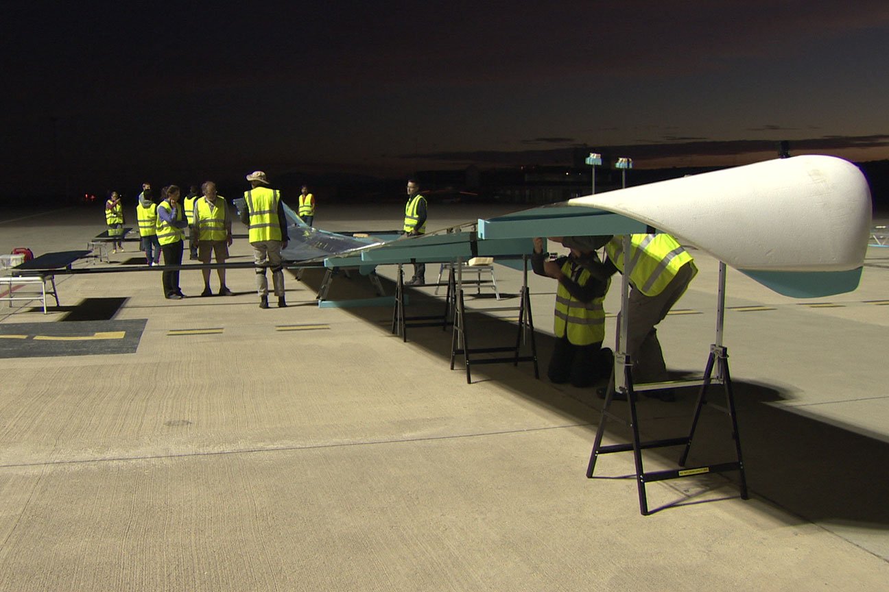
Ordnance Survey Astigan has announced that it is developing its High Altitude Pseudo Satellite (HAPS) solar-powered aerial vehicle and provides accurate Earth imagery when flying at more than 67,000 feet, nearly twice the height of commercial aircraft.
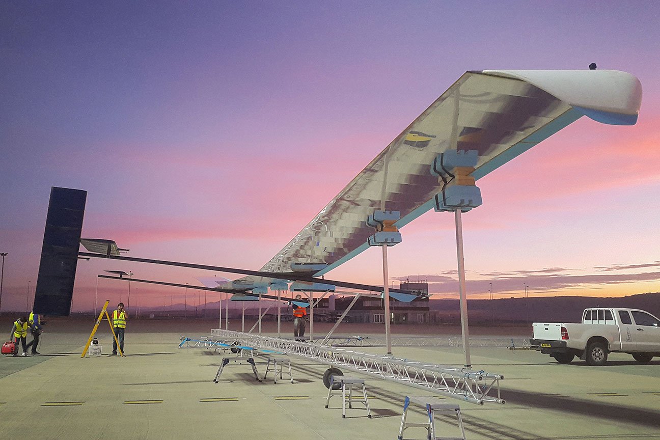
The plane weighs 149 kg - and the wing length is 38 m - and the company is working to increase its flying time up to 90 days - continuous, equivalent to four and a half times the Earth's rotation. Lord Henley, the state’s Under-Secretary for Parliamentary Affairs in the Business and Energy division of Britain, says: “The UK has a special track record in mapping and associated technology, and this exciting new project using - drones - is a great example of the innovative thinking behind our industrial strategy." And this should lead to global business opportunities. ”
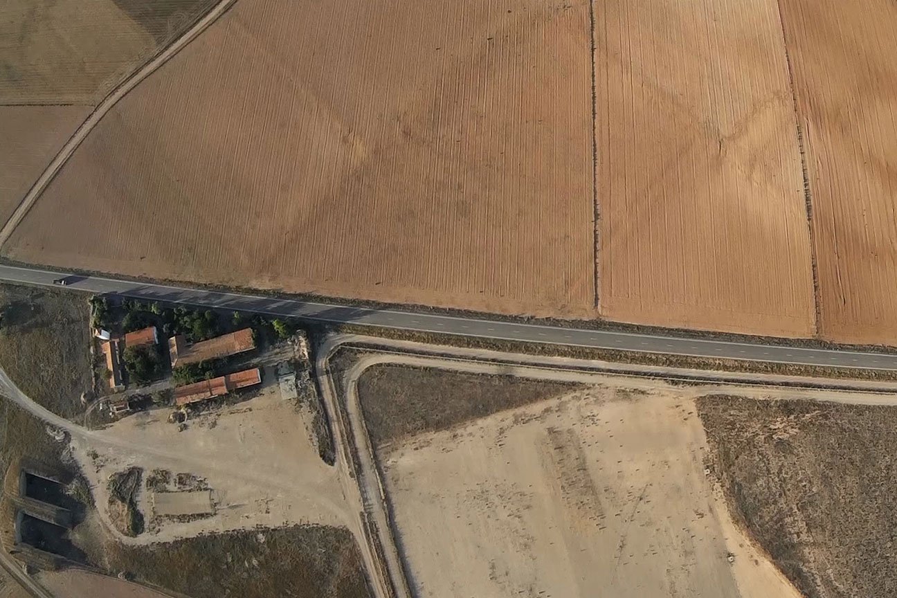
- Ordnance Survey Astigan - has witnessed wide cooperation, starting with British small and medium-sized companies and industry experts, and it is now working on geographic mapping by taking aerial photos as well as climate monitoring and providing early warning of natural disasters, and the basic system on board contains access to data At any time, and you can deal with the big data associated with image technology, you do not have to wait until the plane lands to claim the information it needs, as it is more flexible and less expensive than satellites.