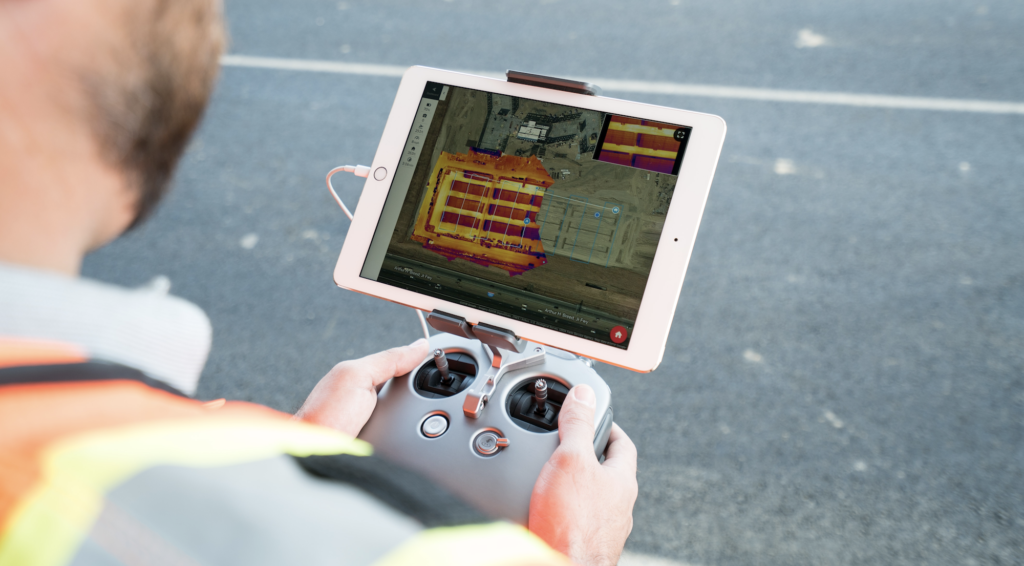
Heat map alive through Waldron

DroneDeploy company launched an application that helps sectors that use its services using the drone by providing an application that reveals current pictures of the site that the drone is flying over. The application helps to create an instant map that you can view and send to the customer's mobile as well. It also does not need to upload pictures to a computer or process data taken from the camera's memory in the shields. Detection took longer time and cost more, but by using this application you can do it at a lower cost, and the new solution is the availability of an iOS device and Dron from DJI company, says Mark Wayne CEO of the company: Thermal maps are one of the most common and difficult requests for our customers but now we have provided They have that difficult demand and it has become cheaper.
In solar energy
Solar panels often heat up, stop working, or need maintenance due to increased dust above their surface, scratches, or mechanical deficiencies. Certainly it needs a long time for all cells to be examined from the ground, but using the drone the task will be much easier, especially with the use of the Thermal Live Map application, the problem will be revealed in minutes, not days.
In buildings
Before the drone, surface inspections took longer and resulted in material losses to workers. The thermal map now identifies problem points such as cracks, leaks, and structural damage - within minutes and that helps reduce safety risks. Now companies can reconsider current and potential risks if you use the traditional method, instead of looking for a needle in a haystack, you have a map that tells you where to look .
In public safety and accident response
Live thermal map - day or night allows to see missing or injured people awaiting rescue. Also, these maps are useful for firefighters when tracking their personnel when they are covered by smoke, these live maps help to make strategies when extinguishing fires because it is easy to know the places where the temperature increases from other areas.
in agriculture
The presence of thermal maps helps farmers to detect the "stress" spot, as it reveals plant maturity and analyzes plant health early to avoid losing crops.