AirMap application helps operators Waldron
The AirMap application for managing airspace for drone has recently gained the confidence of airspace regulators in several countries such as Japan, Switzerland and some US states such as Texas and Florida. TopXGun company is one of the pioneers in the drone flight control system and has several studies and development research in this field based in Shanghai that supported the idea of AirMap and recommended that it be used to make the air map clear to all users of this field and away from the slums that may cause unforeseen accidents, no This airspace is still not occupied in these periods, but investors and entrepreneurs are looking at the opportunities that exist in using these aircraft for air searches and surveys and irrigation of plants..etc.
The application connects drone operators with the airspace authorities to enable operations to take place safely for everyone, and the developers of this application are working to integrate this system within TopXGun autopilot to be an essential part of all types of these aircraft and this application hopes to raise the geographical awareness of operators and display weather data and flight restrictions . "AirMap is a pioneer in this field, it provides excellent products and strong research and development support and through our partnership we can offer greater value to companies that use drone to protect plants, control, mapping, inspection, delivery and emergency services," says Francesco Chang, vice president of Top Exxon Robotics Limited. “Top Exxon Vice President focused on plants in his speech because his company is one of the pioneers in the field of agriculture using drone.
We are here “ Unmanned Systems in Arabic ” We did a simple experiment to use this application in the Kingdom of Saudi Arabia and the city of Jeddah in particular and they were as follows:
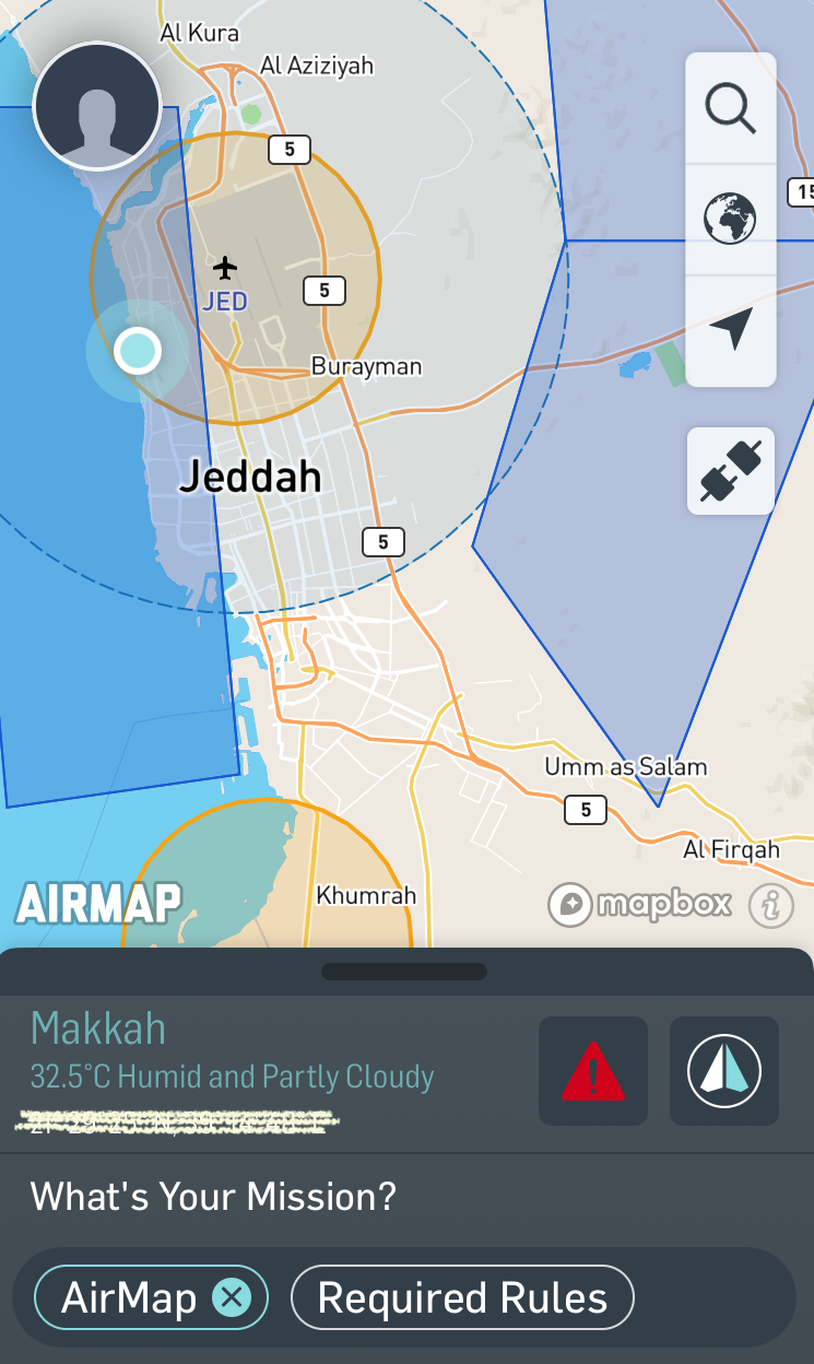
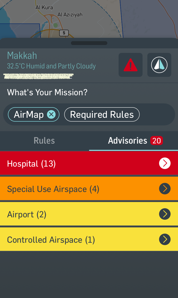
It became clear to us that the airspace is legally closed and requires operators to obtain a special permit. It also explains to us what areas around us are enumerated and enumerated and named and then puts it in certain categories. Here we are calling for policies and regulations that help to create a safe future environment in the field of aviation, the terrestrial and maritime fields because this technology has already started to expand and some ministries of transportation in the countries of the world have begun to study the change of traditional systems such as strengthening the roads with signs needed by the computer system inside these vehicles.